

 Once a junior-golf phenom, Alexa Pano’s patience is paying off
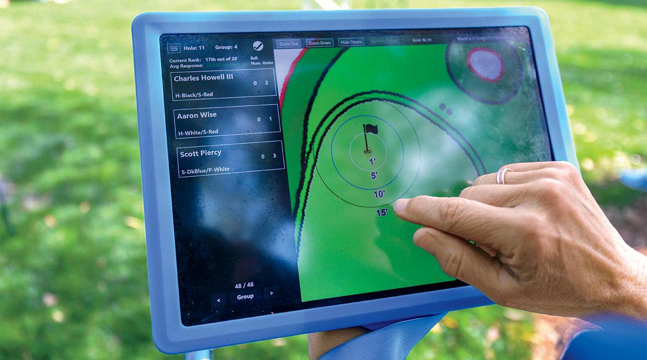
Survey says: Why course mapping is critical for Tour-level success
We know our favorite courses better now than we ever have. In fact, we know all courses better than ever, even those we haven’t played yet. The reason: course-mapping.
What was once a do-it-yourself project for your home track has become its own corner of the golf industry. It stretches from hand-drawn sketches to laser-scripted vectors in the apps on our phones. Course mapping has gone big.
One of the people behind its rise is Mark Long, president and founder of Long Yardage Books. Long caddied on the PGA Tour for 25 years, so he’s a man of many yardages, but he took that one step further by creating books for other caddies and their pro golfers.
Back in the late ’90s, Long bought surveying equipment — the same kind used by architects building bridges — and began charting everything on a course. It’s a pain-staking process that today, even with a team working together, still takes about 30 hours.
The payoff is worth it. Long makes books for golf organizations and courses, selling intensely detailed versions to caddies and players for $165 apiece. “They’re willing to put down some money, because they’re going to multiply their return if they make one [extra] putt.”
It’s that type of data that amateurs like us use almost every time we play. To determine the distance required to carry the bunker, we look down at our phones for detailed GPS maps. We raise our wristwatch to our eyes to understand how the green is shaped.
Is that all the work of Long? Not really. There are legions of sophisticated course-mappers both in the air and on the ground doing their thing across the globe as you read this (see below). Even you can join the fray: Take a spin on any course in Google Earth, where satellite images can help calculate the distance to, well…take your pick.
ADVERTISEMENT
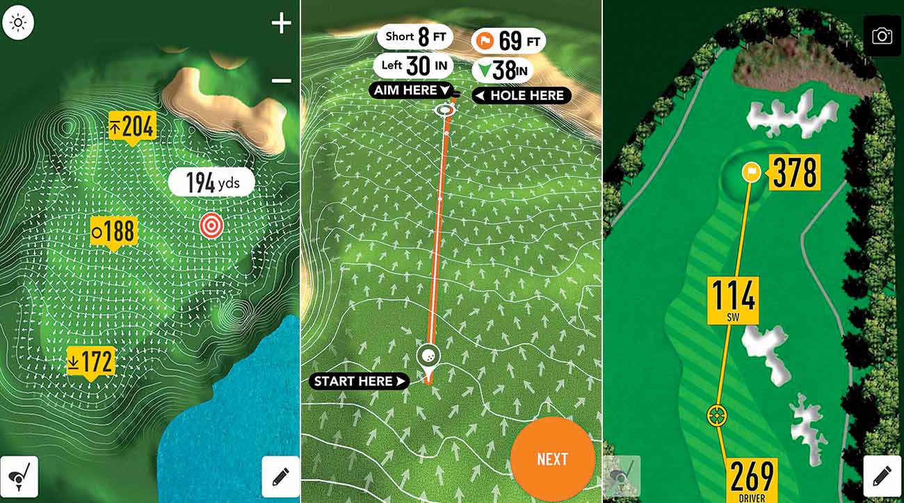
Course-mapping apps to check out
1. GolfLogix uses green screener technology, placed at the edge of greens, to chart millions of points on thousands of putting surfaces. From those points come a seemingly endless list of vectors that work together to tell you the break. When using the company’s PuttLine app, you can pinpoint the location of the hole against the location of your ball and it will generate a video-game rendition of the perfect putt line. golflogix.com (GolfLogix and GOLF.com are affiliates of 8AM Golf.)
2. Thanks to the advent of drone technology, anyone can be a course mapper. Fly your drone up a couple of hundred feet over your home course to see it from a completely new angle. With photos of each hole from the same height, you can easily use a measurement ratio to map out distances from tees to greens, bunkers, hazards, etc.
3. TAG Heuer leans on satellite images to deliver its course maps to owners of its game-tracking wristwatch ($1,700) and smartphone app. With more than 39,000 courses mapped, you’ll know everything you need to know about your track before hitting a shot. Working with courses to provide the most realistic map, TAG offers 3D mapping in its phone app, making it (somehow) even more real-life than previous versions. tagheuer.com

ADVERTISEMENT
Once a junior-golf phenom, Alexa Pano’s patience is paying off
 ‘1 bad swing’ stymies Nelly Korda’s KPMG Women’s PGA opener
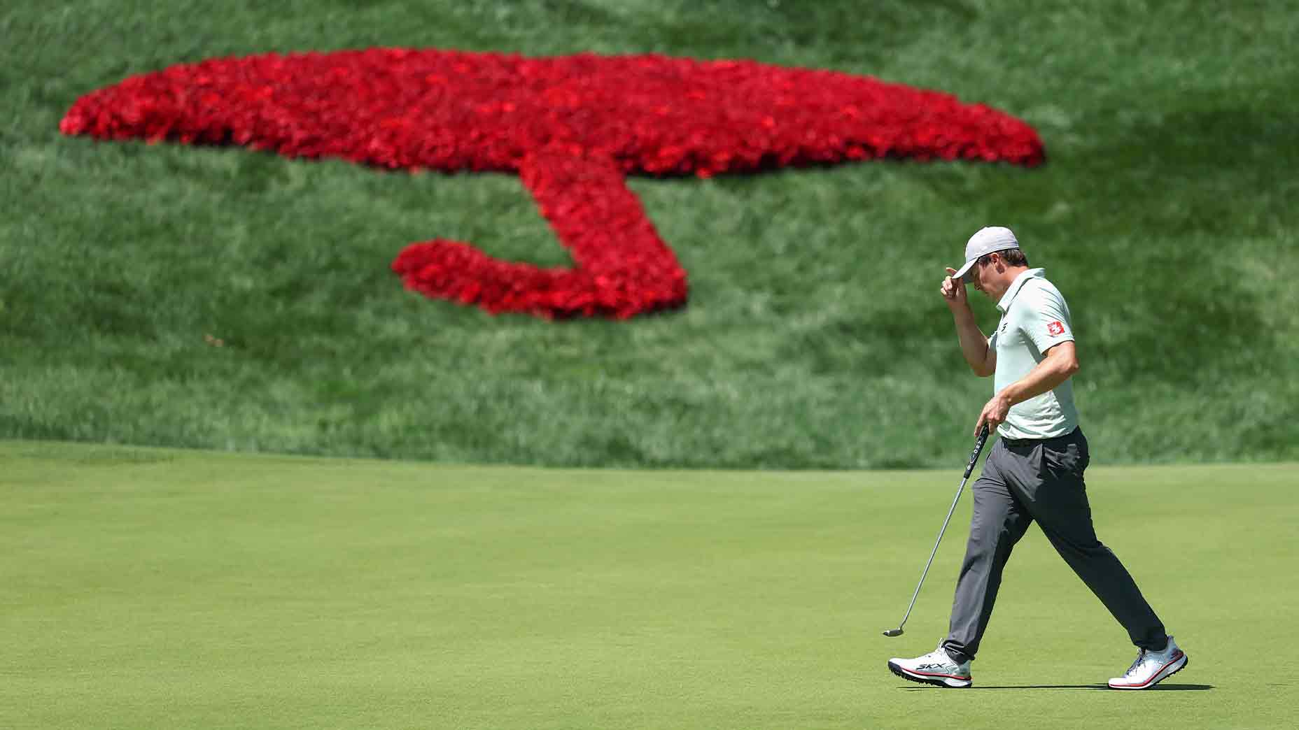 2026 Travelers Championship Friday tee times: Round 2 pairings
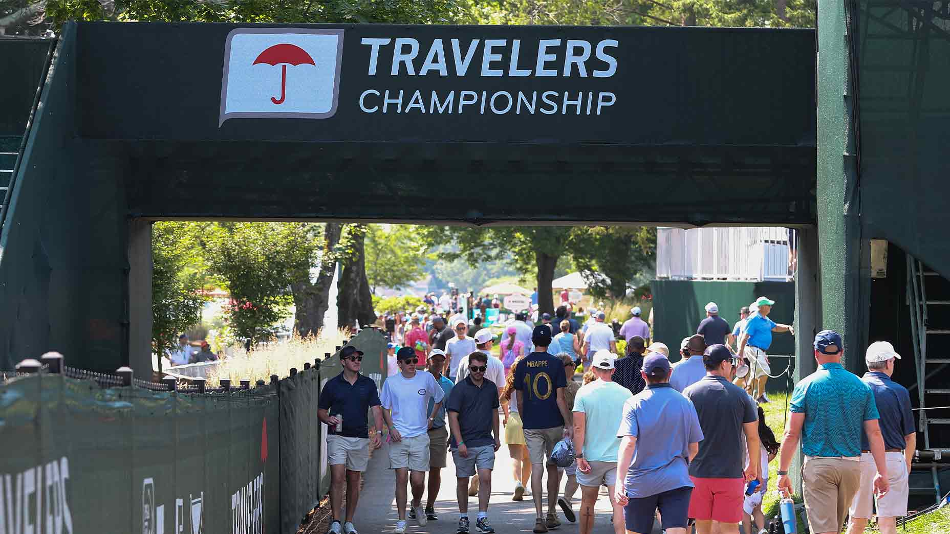 2026 Travelers Championship Thursday TV coverage: How to watch Round 1
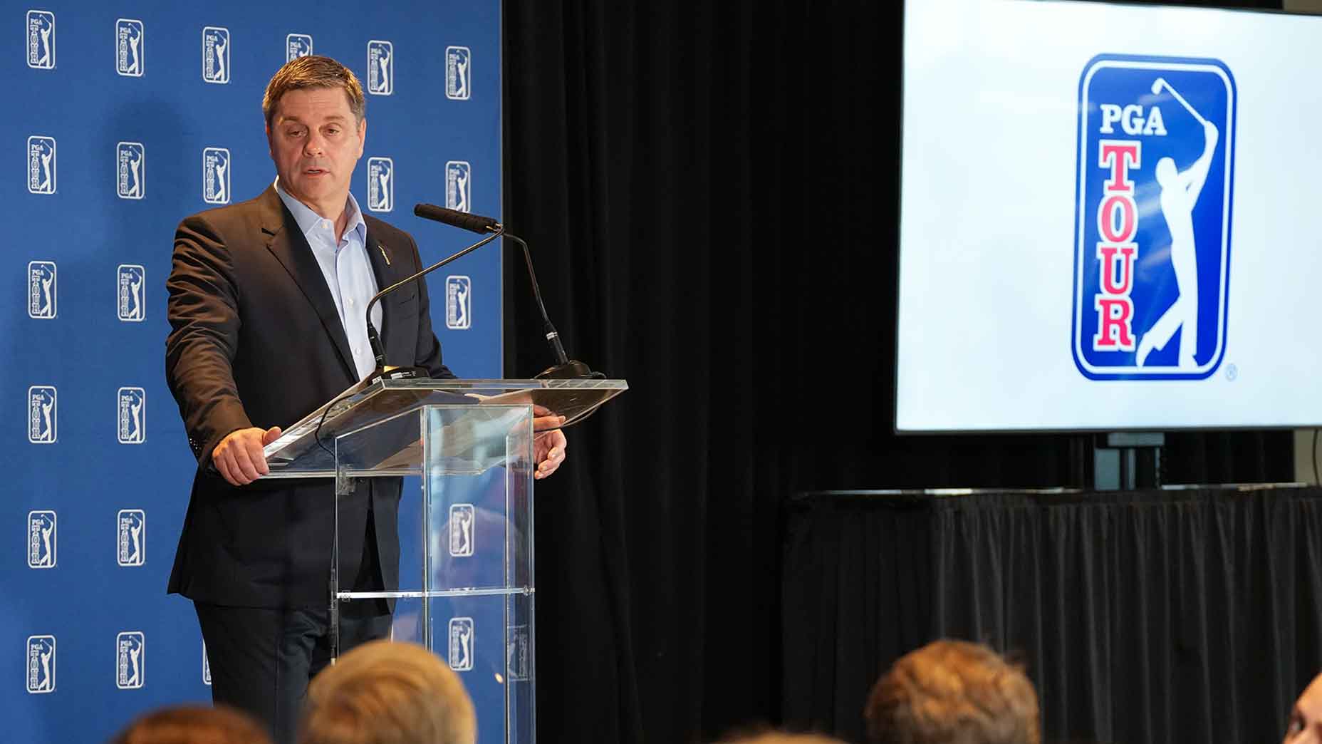 Players will love this 1 quiet detail from PGA Tour schedule changes
Once a junior-golf phenom, Alexa Pano’s patience is paying off
‘1 bad swing’ stymies Nelly Korda’s KPMG Women’s PGA opener
2026 Travelers Championship Friday tee times: Round 2 pairings
2026 Travelers Championship Thursday TV coverage: How to watch Round 1
Players will love this 1 quiet detail from PGA Tour schedule changes
Players will love this 1 quiet detail from PGA Tour schedule changes
Once a junior-golf phenom, Alexa Pano’s patience is paying off
‘1 bad swing’ stymies Nelly Korda’s KPMG Women’s PGA opener
2026 Travelers Championship Friday tee times: Round 2 pairings
2026 Travelers Championship Thursday TV coverage: How to watch Round 1
Players will love this 1 quiet detail from PGA Tour schedule changes